Collection: AA - Planning Charts
Our charts are tailored to the need of mariners to ensure safe navigation in the open ocean, coastal passages, port approaches and secure berthing in harbours.
Large scale charts are published covering harbours, anchorages or for passing close to navigational hazards. Medium scale charts are published for coastal navigation, while small scale charts are produced for offshore navigation and passage planning.
Chart detail is governed by the scale of the chart and the requirements of the chart user. The level of chart detail will generally be reduced on smaller scale charts.
Mariners should always use the largest scale nautical chart available. In particularly busy seaways, namely The English Channel & Southern North Sea, Gulf of Suez and Malacca and Singapore Straits, our main chart series is supplemented by Mariners’ Routeing Guides showing route planning information and all necessary regulations appropriate to that area of navigation.
- British Admiralty Nautical Chart 4002: A Planning Chart for the Pacific Ocean

- Regular price
- $55.95
- Sale price
- $55.95
- British Admiralty Nautical Chart 4022: South America to Africa
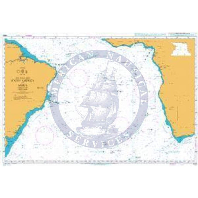
- Regular price
- $55.95
- Sale price
- $55.95
- British Admiralty Nautical Chart 4004: A Planning Chart for the North Atlantic Ocean and Mediterranean Sea

- Regular price
- $55.95
- Sale price
- $55.95
- British Admiralty Nautical Chart 4060: Australasia and Adjacent Waters
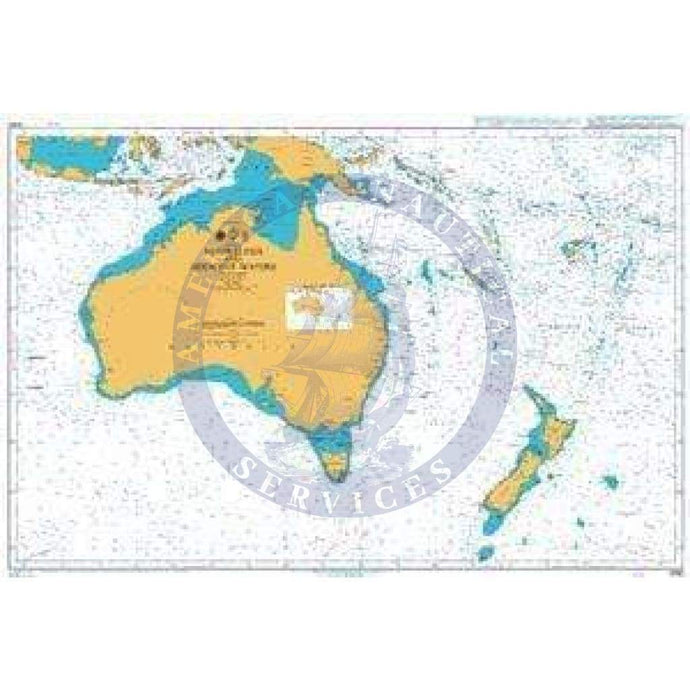
- Regular price
- $55.95
- Sale price
- $55.95
- British Admiralty Nautical Chart 4010: Norwegian Sea and Adjacent Seas
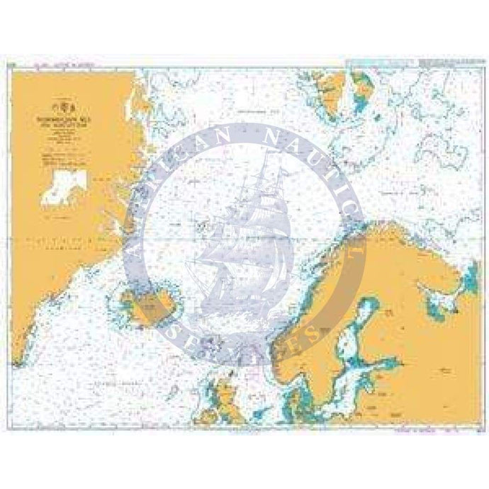
- Regular price
- $55.95
- Sale price
- $55.95
- British Admiralty Nautical Chart 4062: South Pacific Ocean Eastern Part

- Regular price
- $55.95
- Sale price
- $55.95


- Previous page
- Page 2 of 7
- Next page