Usually ready in 24 hours
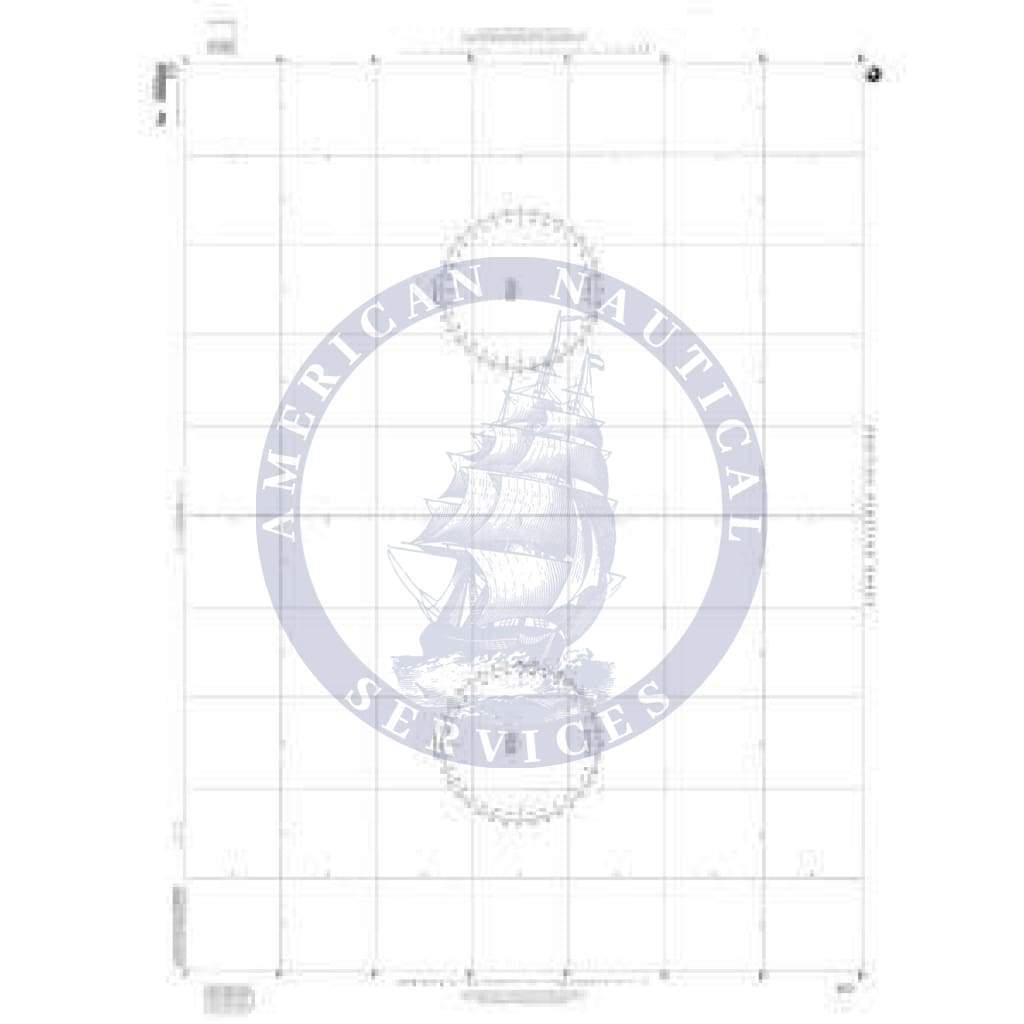
NGA Plotting Chart 923 is for use between lattitudes of 17° to 24° (North or South).
The chart is 35 inches by 46 inches, and the center lattitude is 20°30', where a scale of 1:1,026,715 makes every 4 inches on the chart equal to one second of longitude.
Great plotting sheets! Wasnt expecting them to be so huge! They are like a full sized chart!
Have you ever used a Universal Plotting Sheet and tried to get high level accuracy (especially during USCG License Exams)? Chart 923 & 924 are the solution as they are much larger, and you do not need to use the interpolation scale to set up your plot or to measure longitudes. 923 & 924 eliminate much of the errors from setting up and measuring associated with the Universal Plotting Sheet and offer much greater detail which is essential for USCG Exams, especially running fixes, and other operations.
+1 954-522-3321
sales@amnautical.com
American Nautical Services, Inc.
3311 S Andrews Ave, Suite 11
Fort Lauderdale, FL 33316
United States of America
Notify me when available
We will send you a notification as soon as this product is available again.
We don't share your email with anybody