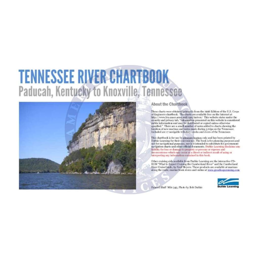
Explore the majestic Tennessee River with our expertly crafted Waterway Navigation Chartbook Tennessee River: Kentucky to Tennessee. This comprehensive navigation guide is essential for boaters, fishermen, and outdoor enthusiasts alike. Spanning the waters from Paducah, Kentucky, to Knoxville, Tennessee, this chartbook is packed with invaluable information that will enhance your river navigation experience.
Stay informed as you navigate with our detailed charts that include crucial features such as:
-
Lock and Dam Information: Detailed locations and operating schedules of locks and dams help you plan your journey effectively.
-
Navigation Aids: Comprehensive listings of principal navigation aids, including lights and day marks, ensure safe passage along the river.
Waterway Navigation Chartbook Tennessee River: Kentucky to Tennessee provides river mileage data and clear sailing lines to facilitate your journey. Additionally, you'll find information on river gages, clearance data for overhead crossings, and other vital navigation elements.
What’s more, our chartbook also highlights nearby towns and shore facilities, making it easy to locate amenities and services along your route. Whether you're fishing, cruising, or embarking on an adventure, this chartbook is your reliable companion on the waters.
Don’t set sail without our Waterway Navigation Chartbook Tennessee River: Kentucky to Tennessee. Equip yourself with the most comprehensive information available for a smoother, safer, and more enjoyable journey on the Tennessee River!