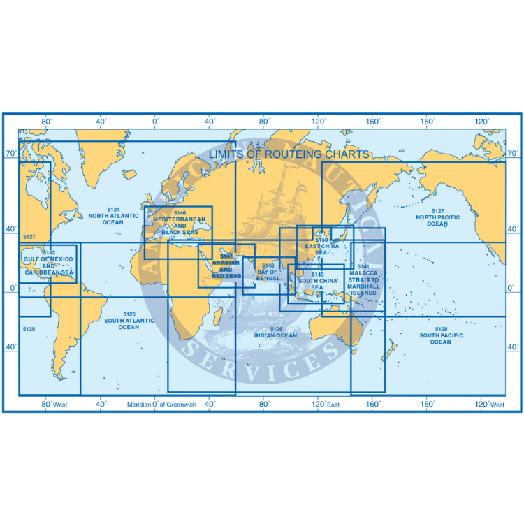
Collection: British Admiralty Routeing Charts for Arabian Sea
Navigate the Arabian and Red Seas with confidence using the British Admiralty's collection of routeing charts. These essential navigational tools highlight key maritime routes, detailed distances between major ports, and vital information such as ocean currents and wind roses. Designed for professional mariners, our routeing charts offer expected meteorological and oceanographic conditions throughout the year, ensuring your passage planning is both safe and efficient. With the British Admiralty's expertly formulated routeing charts for the Arabian Sea, you can optimize your voyage, reduce risks, and enhance your maritime experience. Explore the collection and embark on your next adventure with precision and ease.