
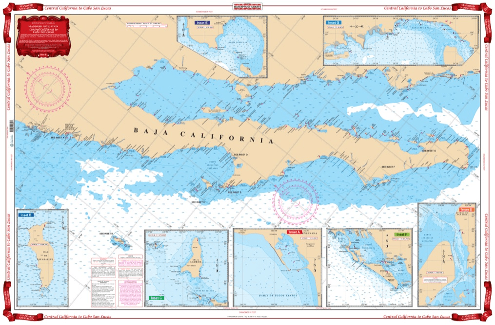
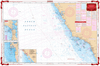
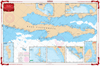
Coverage from Navarro Head California south to Ensenada including Punta Santo Tomas, Punta San Jose, Punta Piedras, and Punta Colnett. GPS waypoint table for the major entrances are listed as well as 10 insets that show the entrances in large scale. Information from 3 NOAA Charts,#18020, #18765, #18640 & NGA #21008. Chart #83 continues north to the Dixon Entrance & Alaska. No trip between Central California and Cabo San Lucas is complete without this marine map. You will be able to easily plot a trip through this region using this highly detailed nautical map. This chart is also excellent for framing and giving as a gift or displaying in a home or office. Coverage from Navarro Head California south to Ensenada including Punta Santo Tomas, Punta San Jose, Punta Piedras, and Punta Colnett. A GPS waypoint table has major entrances listed, as well as 10 insets that show the entrances in large scale. Information from 3 NOAA Charts #18020, #18765, #18640 & NGA #21008. Nautical Chart #83 continues north to the Dixon Entrance and Alaska. Navigation Chart is 25″ X 38″. WGS84 – World Mercator Datum.


I had a great experience with ANS!
My charts were delivered super quickly, and their customer service was excellent—very responsive and helpful with any questions I had. Highly recommend them for anyone needing quality charts with fast and friendly service.
D.O.T. Chart 17 - Hazardous Materials Markings Labeling and Placarding Guide
Product exactly as advertised, order filled speedily, product arrived in excellent condition.
Exactly what I was looking for. Quick turn around best online price shipped.
My order was filled, shipped and received within a few days. They make beautiful ways to hold my charts down while I am examining and working with them. The chartweights are attractive additions to my navigation tools. I would recommend American Nautical Services very highly.