Usually ready in 24 hours
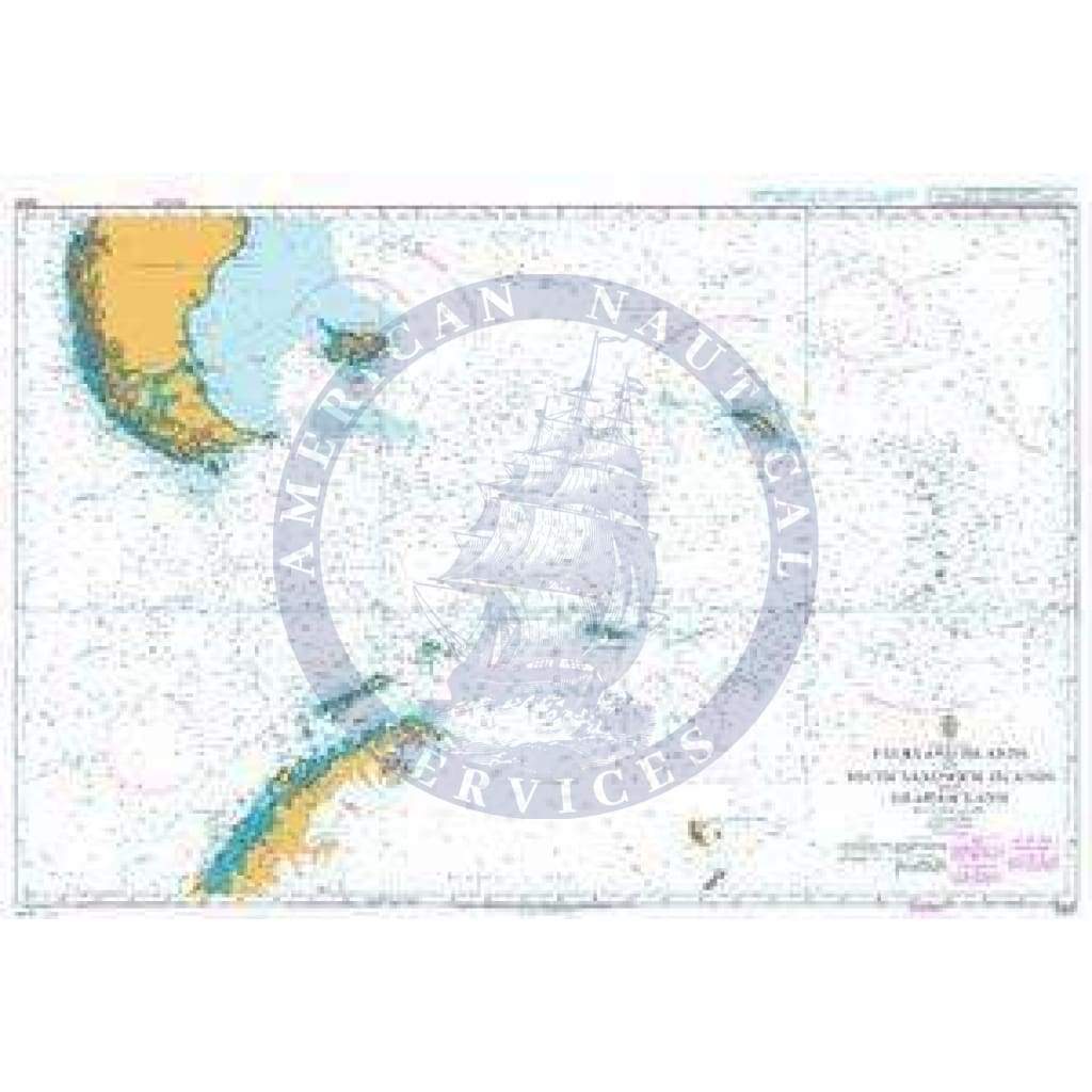
British Admiralty Nautical Chart 3200: Falkland Islands to South Sandwich Islands and Graham Land is a standard nautical chart. This nautical chart complies with Safety of Life at Sea (SOLAS) regulations and is ideal for professional, commercial and recreational use. Charts within the series consist of a range of scales, useful for passage planning, ocean crossings, coastal navigation and entering port. Mariners should always use the largest scale nautical chart appropriate to their needs. In particularly busy seaways such as the English Channel, Gulf of Suez and the Malacca and Singapore Straits, the standard nautical charts are supplemented by mariners' routeing guides which provide advice on route planning in these complex areas. Admiralty nautical charts are corrected to the latest notice to mariners (NTM) by our trained cartographer at the point of sale. It is the mariner's responsibility to maintain and correct the chart onwards to be in compliance with SOLAS regulations and to ensure safe navigation.
Got my map quickly and with no issues. Love it! Friendly service
I would love to leave a review but I still haven’t received my chart, even though I’m pretty sure I paid for 2-day shipping! Please can you help me find it??
Got my map quickly and with no issues. Love it! Friendly service
I would love to leave a review but I still haven’t received my chart, even though I’m pretty sure I paid for 2-day shipping! Please can you help me find it??
+1 954-522-3321
sales@amnautical.com
American Nautical Services, Inc.
3311 S Andrews Ave, Suite 11
Fort Lauderdale, FL 33316
United States of America
Notify me when available
We will send you a notification as soon as this product is available again.
We don't share your email with anybody