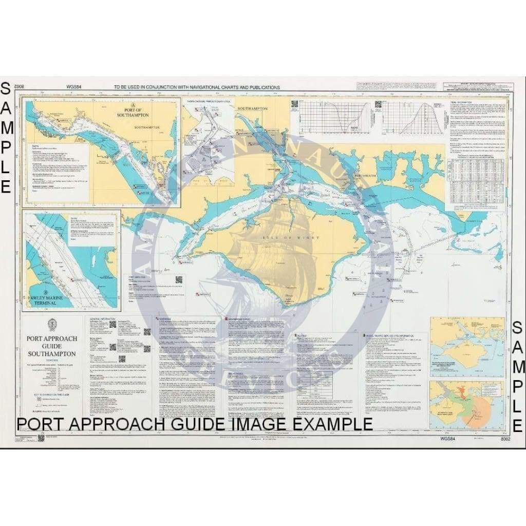
Description
British Admiralty Nautical Chart 8211: Port Approach Guide Cartagena
ADMIRALTY Port Approach Guides
Why Port Approach Guides?
The ADMIRALTY Port Approach Guide portfolio is part of the passage planning range, and is designed to be used alongside a ship’s mandatory navigational holdings to maximise ship safety and efficiency.
By taking advantage of our unrivalled expertise, improved cartographic techniques and strong international relationships around the world, the UKHO is able to rapidly bring new charts to market in the areas where they are needed the most.
ADMIRALTY Port Approach Guides add an additional level of awareness, and are designed to be used by a broad range of mariners, even after the mandatory carriage of ECDIS is introduced.
Port Approach Guides at a glance
- Promotes safer navigation
- Valued passage planning tool
- Can be used alongside carriage-compliant electronic or paper charts
- Enhances situational awareness
- All-in-one reference chart
- Planned coverage of the world’s top 800 ports
- Saving bridge officers time during passage planning and master pilot exchange
Referencing additional information
ADMIRALTY Port Approach Guides have been designed to contain information used during the planning stage of a port approach.
ADMIRALTY Port Approach Guides are not designed to replace mandatory charts and publications, but to enhance them. By acting as a quick index of many of the ADMIRALTY products in the charted area, ADMIRALTY Port Approach Guides allow mariners to quickly identify and refer to the products they need.
Extra, relevant information to help make the planning of port entry and exit quicker and easier
Quick reference
Linking the International Code of Signals (ICS) flags with related reference sections on the chart helps bridge crews quickly find important warnings and notifications they need.
Aiding Master Pilot Exchange (MPX)
They can be used on the bridge by the master and pilot as a single reference in agreeing the approach plan.
Easy to use
Designed to be used alongside either carriage-compliant paper or digital nautical charts, they help to make the planning of port entry and exit quicker and easier, and aid the berth to berth planning process.
Planning
ADMIRALTY Port Approach Guides have been designed to contain information used during the planning stage of a port approach.
QR codes
Quick Response (QR) codes provide quick links to associated websites, important email addresses and online supporting applications giving mariners the most up-to-date information.
Familiarity
No two ports are the same but every ADMIRALTY Port Approach Guide has widely recognised symbology and layout.
Warnings
International Code of Signals (ICS) flags link text panels to chart features, so mariners can quickly identify warnings and notices for the area in which they plan to sail, enhancing a bridge officer’s situational awareness.
A record of notes
Bridge officers can write down their own port-specific notes for reference when they are planning to call at that port again.
Ease of use
ICS flags
Using the widely recognised International Code of Signals (ICS) flags to link text panels to chart features, mariners can quickly identify information and many of the warnings in the approach of the port.
Familiarity and reassurance
These charts display widely used and instantly recognisable features and chart symbols, giving mariners clarity and reassurance.
QR codes
ADMIRALTY Port Approach Guides also include Quick Response (QR) codes that provide quick links to associated websites, important email addresses and online supporting applications such as ADMIRALTY EasyTide and Notice to Mariners WebSearch.
Up-to-date information
Any change to the port area is quickly brought to the mariner’s attention by regular updates via ADMIRALTY Preliminary Notice to Mariners.
QR (Quick Response) codes on the chart border can also be used to quickly check the current list of P-NMs by specific chart.
The QR codes in the Tidal information takes the user directly to the latest 7 day tidal forecast for that port, while the QR codes in the General Area takes the user directly to the respective websites.
In addition to paper Notices to Mariners, a full list of updates for each chart can be accessed online from the NMWeb Search service.
ADMIRALTY Port Approach Guides:
- Are updated by P-NMs
- Are included in Section II of the paper NMs
- Updated to reflect all significant changes
- Contain QR codes for the latest published information
Unique selling propositions for ADMIRALTY Port Approach Guides:
- Saves time when passage planning.
- Can be used as an aid during Master Pilot Exchange.
- Offers a comprehensive range of planning information for individual ports in a single, convenient reference chart.
- Provides an additional level of convenience and awareness when planning a port approach.
- Can be used alongside both paper and electronic navigational charts.
- Offers extra information to aid navigation when used with other ADMIRALTY Maritime Products & Services
Video


