

Usually ready in 24 hours
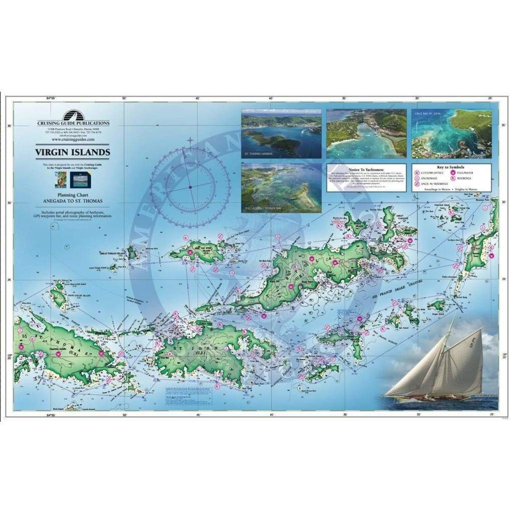
Printed on two sides this new chart includes the U.S. & B.V.I. from St. Thomas to Anegada, including anchorage and mooring locations as well as GPS coordinates, sailing routes and distances between waypoints. The waterproof chart is excellent for the cockpit and attractive enough to hang on the wall when you get home. Designed for use with The Cruising Guide to the Virgin Islands, this planning chart is a duplicate of the one you receive in the guide with the exception of being waterproof.

+1 954-522-3321
sales@amnautical.com
American Nautical Services, Inc.
3311 S Andrews Ave, Suite 11
Fort Lauderdale, FL 33316
United States of America
Notify me when available
We will send you a notification as soon as this product is available again.
We don't share your email with anybody