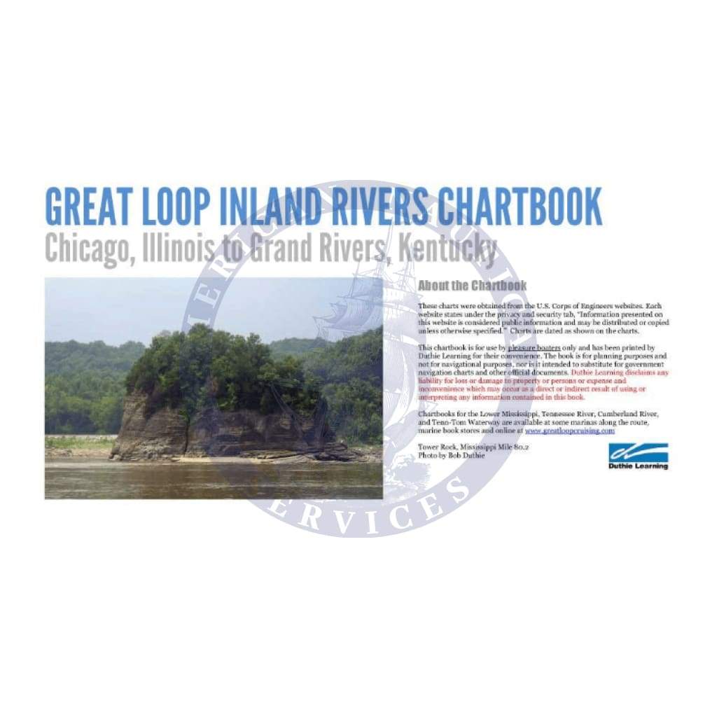
Explore the vast waterways of America with the Waterway Navigation Chartbook: Great Loop Inland Rivers Chartbook. This indispensable resource is tailored specifically for Great Loop cruisers, providing comprehensive navigational support from Chicago, Illinois, to Grand Rivers, Kentucky.
The chartbook is designed for ease of use, featuring:
-
Complete Coverage: Detailed Corps of Engineers charts covering the Chicago River, Calumet River, Illinois River, Mississippi River, Ohio River, and Cumberland River.
-
Streamlined Navigation: Consolidates five separate chartbooks into one, simplifying your journey along this scenic route.
With 302 pages of critical navigational data, this chartbook great loop is made for both novice and experienced boaters. Its user-friendly layout allows for quick scanning of charts, whether displayed in vertical or horizontal formats. Each page is meticulously crafted to provide clear, easy-to-read information essential for safe navigation.
In addition, the chartbook is not only a standalone resource. By adding chartbooks for the Tennessee River and Tenn-Tom Waterway, you only need three books to navigate from Chicago to Mobile. This innovative approach to charting waterways significantly reduces clutter and enhances the boating experience.
Don’t set sail without the Waterway Navigation Chartbook: Great Loop Inland Rivers Chartbook. Equip yourself with this powerful navigation tool and experience the beauty and adventure of the Great Loop with confidence.