

Normalmente está listo en 24 horas
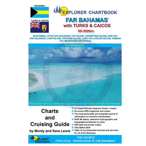
This new 9th edition of the Explorer Chartbook Far Bahamas brings you the most up-to-date charts and cruising guide information for the islands stretching from Eleuthera to the Turks and Caicos. Every chart and each settlement’s Need-to-Know Info has been revised and updated so that you can confidently explore the outer reaches of the Bahamian/TCI archipelago.
FEATURES:
- Overview Planning Chart of the Bahamas
- (8) Small Scale charts
- (11) Medium Scale charts
- (49) Large Scale charts
- (21) Closeup charts
Chart Detail:
- Notes on "Joins page..."
- Chart page overlaps
- Extensive hydrographic and topographical features to scale, plus road maps for land travel
- Updated variation on compass roses
- New and corrected hydrographic data
- Shaded depth contours
- 1/10-minute grid and border scales
- On-scene GPS waypoints and routes
- Printed on water- and tear-resistant material
- The most up-to-date and complete source of information on services and facilities (Need-to-Know Info)
- Latest table of recommended marinas and services for all of the Bahamas
Special Articles including:
- Far Bahamas History and Description
- Customs and Immigration
- Emergency Medical Evacuation
- Flight Services
- Bahamas National Parks
- Waypoint List
- Father Jerome
- Cruising the Bight of Acklins
- Negotiating the Columbus Bay Reef
- The Samana Debate
- Turks and Caicos History and Description
- Turks and Caicos Help Menu

+1 954-522-3321
sales@amnautical.com
American Nautical Services, Inc.
3311 S Andrews Ave, Suite 11
Fort Lauderdale, FL 33316
United States of America
Notify me when available
We will send you a notification as soon as this product is available again.
We don't share your email with anybody