Explore the British Admiralty Nautical Chart 259: Baltic Sea, a reliable companion for professional, commercial, and recreational maritime use. Designed to adhere to Safety of Life at Sea (SOLAS) regulations, this nautical chart is your essential tool for safe and efficient navigation.
Featuring a range of scales, this chart is ideal for various purposes including passage planning, ocean crossings, coastal navigation, and port entries. It is crucial for mariners to select the appropriate scale chart to meet their specific navigational needs, especially in busy maritime regions like the English Channel, Gulf of Suez, and the Malacca and Singapore Straits. To aid in complex areas, mariners can rely on mariners' routeing guides for valuable route planning advice.
Every Admiralty nautical chart, including Chart 259, is meticulously corrected to the latest notice to mariners by skilled cartographers at the time of sale. It is the responsibility of mariners to ensure that the chart remains updated and in compliance with SOLAS regulations to guarantee safe navigation throughout their journey.
Chart Panel Details:
-
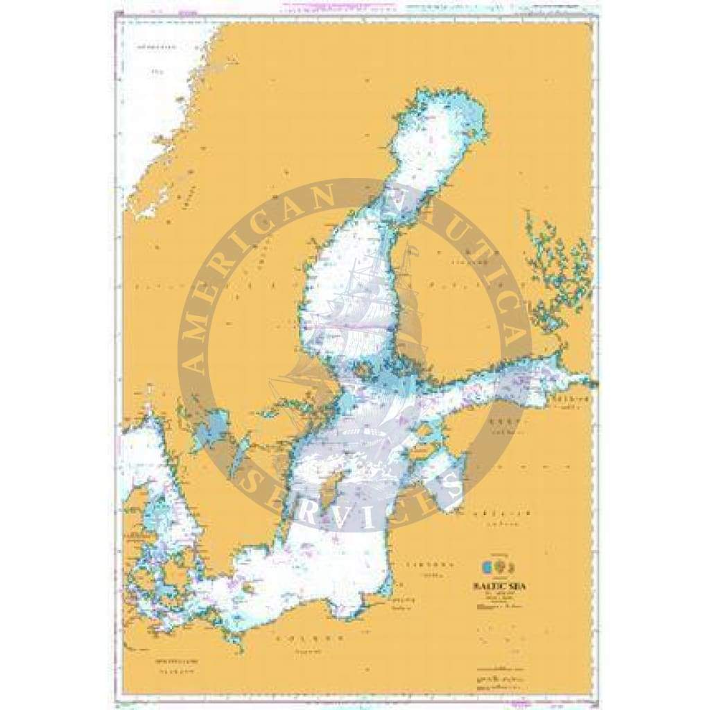
Panel Name: Baltic Sea
-
Natural Scale: 1500000
-
North Limit: 67° 00'.00N
-
East Limit: 30° 01'.00E
-
South Limit: 52° 20'.00N
-
West Limit: 9° 24'.00E