Normalmente está listo en 24 horas
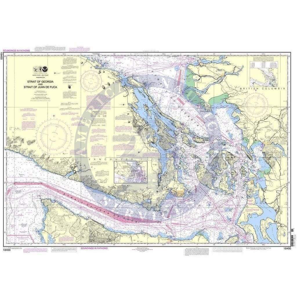
NOAA Nautical Chart 18400: Strait of Georgia and Strait of Juan de Fuca is a standard navigation chart used by commercial and recreational mariners alike. Printed "on-demand" with water resistant paper, it contains all of the latest notice to mariner (NTM) updates at the time of printing. The National Oceanic and Atmospheric Administration (NOAA) has partnered with OceanGrafix to provide commercial and recreational mariners with the most accurate nautical charts. This chart meets the definition of a nautical chart laid out in SOLAS Chapter V Regulation 2.2 and also meets the carriage requirements defined in SOLAS Chapter V Regulation 19.2.1.4
I recently ordered charts for an extended cruise in the Pacific Northwest. I left it until the last minute and really didn’t expect them to arrive in time. Not only did they arrive in time for my trip, they were well packaged and cheaper than other vendors I found on line.
I would highly recommend this company and I will be using them in the future.
+1 954-522-3321
sales@amnautical.com
American Nautical Services, Inc.
3311 S Andrews Ave, Suite 11
Fort Lauderdale, FL 33316
United States of America
Notify me when available
We will send you a notification as soon as this product is available again.
We don't share your email with anybody