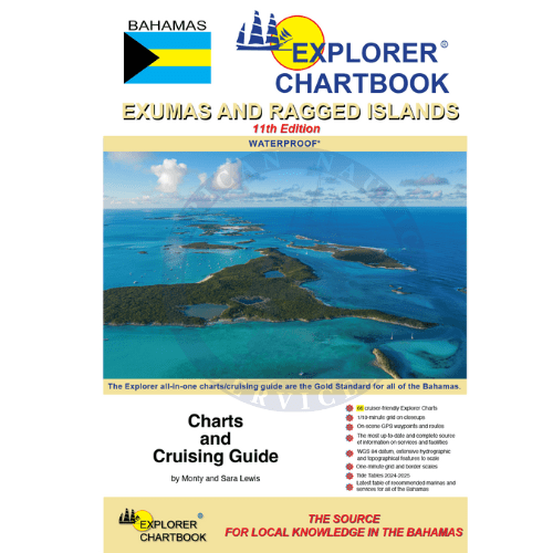
The true Explorer is always dreaming about new islands on the horizon. The Exuma chain is emerging as the premier cruising area in the Bahamas. Our tenth edition of the Explorer Chartbook Exumas and the Ragged Islands presents the chart coverage of the central cruising ground of the Bahamas, where we first started charting in the 80s. We have also given a complete facelift to all of our original Exuma charts–digitally redrawn to pinpoint accuracy using aerial photographs. We’ve conducted new surveys in many areas, especially most extensively in the Ragged Island chain.
The true Explorer is always dreaming about new islands on the horizon. The Exuma chain is emerging as the premier cruising area in the Bahamas. Our tenth edition of the Explorer Chartbook Exumas and the Ragged Islands presents the chart coverage of the central cruising ground of the Bahamas, where we first started charting in the 80s. We have also given a complete facelift to all of our original Exuma charts–digitally redrawn to pinpoint accuracy using aerial photographs. We’ve conducted new surveys in many areas, especially most extensively in the Ragged Island chain.
FEATURES:
-
Covers the Exumas and Ragged Island Chains
-
66 cruiser-friendly full-color Explorer charts and insets
-
Tide Tables for 2024-2025
Chart Detail:
-
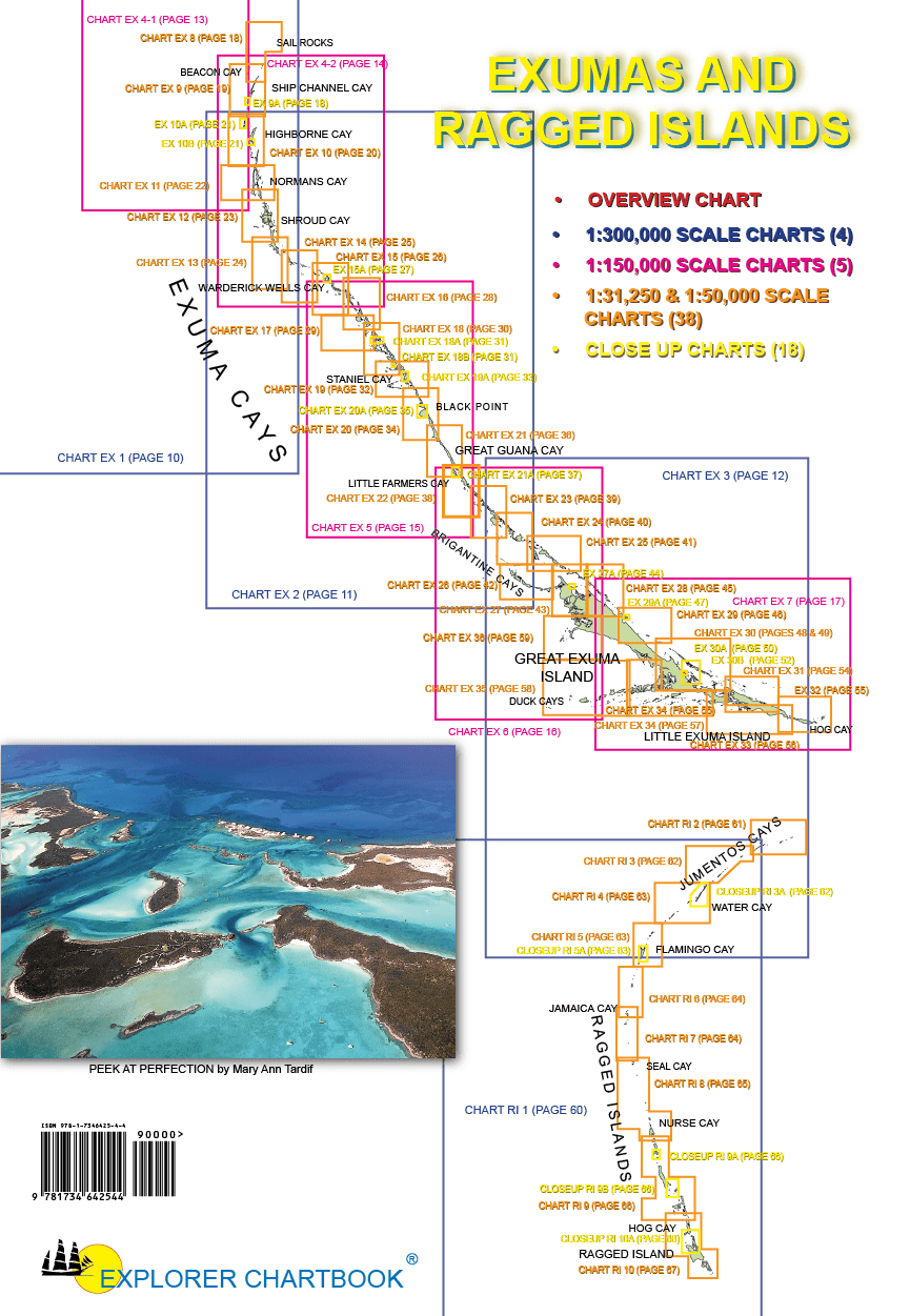
Overview Planning Chart of the Bahamas
-
(4) Small Scale charts
-
(5) Medium Scale charts
-
(38) Large Scale charts
-
(18) Closeup charts
-
Notes on "Joins page..."
-
Chart page overlaps
-
Extensive hydrographic and topographical features to scale, plus road maps for land travel
-
Updated variation on compass roses
-
New and corrected hydrographic data
-
Shaded depth contours
-
1/10-minute grid and border scales
-
On-scene GPS waypoints and routes
-
Printed on water- and tear-resistant material
-
The most up-to-date and complete source of information on services and facilities (Need-to-Know Info)
-
Latest table of recommended marinas and services for all of the Bahamas
Special Articles including:
-
GPS & Piloting
-
Customs and Immigration
-
Bahamas Weather
-
Anchoring
-
History and Description
-
Provisioning
-
Piloting the Cays and Cuts
-
Cruising Communications
-
Bankside Route: Barrateerre and Beyond
-
Exploring Exuma Sout' Side
-
Self-Reliance in the Ragged Islands
-
Reaching the Ragged Islands
-
Health, Safety and Rescue Tips
-
Reading the Water
-
Radio Etiquette Communications & Radio Frequencies
-
Lionfish for the Table
-
National Parks
-
Disposal of Trash
-
Waypont List
-
Photo Album