Imray Chart 100: North Atlantic Ocean Passage (North Atlantic Ocean)

Precio de venta
$34.95
Precio habitual
$44.95
Media:Water-Resistant Folded
Media Water-Resistant Folded
SKU NA100
Publisher Imray
ISBN '9781786790699
Retiro disponible en 3311 S. Andrews Ave.

Normalmente está listo en 24 horas

Ver información de la tienda

Scale: 1:7,620,000 WGS 84

Imray

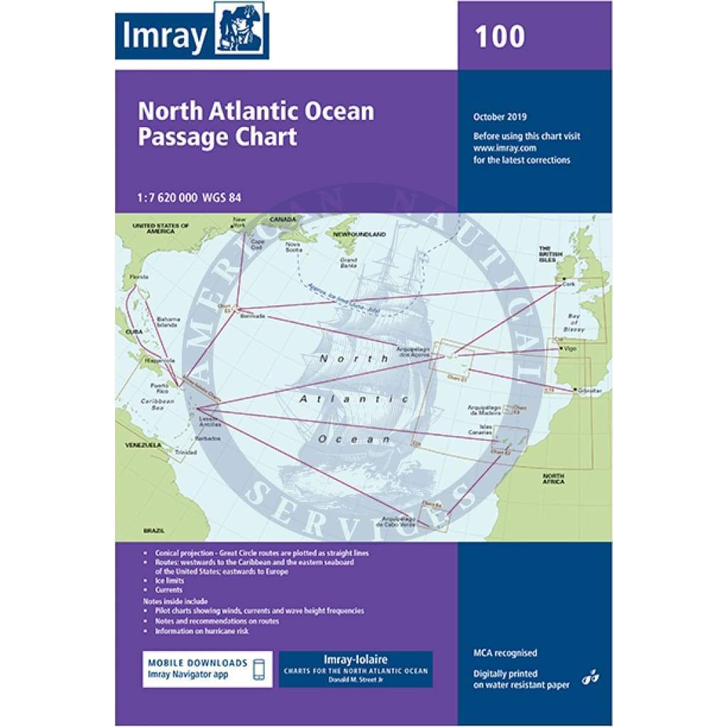
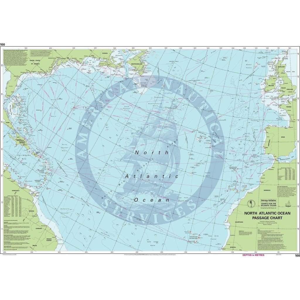
At a scale of 1:7,620,000 this chart covers the North Atlantic from Brazil to Newfoundland and Gibraltar to the Caribbean. It has been constructed on a conical projection that means that Great Circle tracks can be plotted as straight lines rather than curves.

Chart 100 shows the main trend of depth contours, limits of ice, magnetic variations and keys routes as identified by Donald M. Street Jr. In the enclosed booklet are pilot charts showing winds, currents and wave height frequencies with accompanying notes on favourable route timings and hurricane risk.

Chart 100 is an important companion for Atlantic yachtsmen on passage and an excellent source of planning information.

Customer Reviews

Based on 1 review
100%
(1)
0%
(0)
0%
(0)
0%
(0)
0%
(0)
K
Kent R.
Great Service

Had exactly the chart I needed and extremely fast delivery!

Customer Reviews

Based on 1 review
100%
(1)
0%
(0)
0%
(0)
0%
(0)
0%
(0)
K
Kent R.
Great Service

Had exactly the chart I needed and extremely fast delivery!

You may also like