

Normalmente está listo en 24 horas
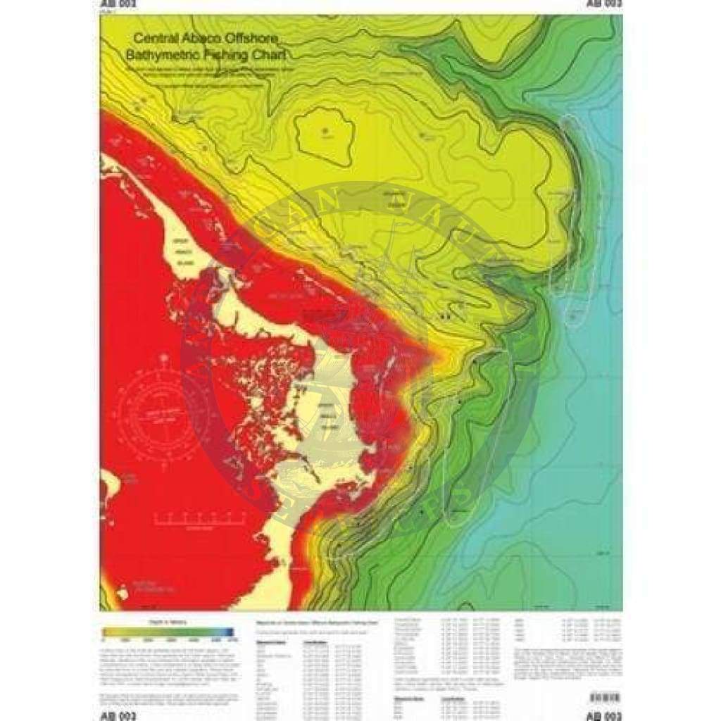
Bathymetric fishing chart of Atlantic Ocean from Spanish Cay in the north to south of Crossing Rocks out 25 to 55 nautical miles to beyond longitude W 76?30' with depths to over 3400 meters (over 11,000'). Bathymetric contour lines generally at 100 meter intervals. Includes GPS waypoints for offshore fishing sites and marlin catch locations. Side two is Northern Bahamas Bathymetric Fishing Chart which includes all of Abaco, Grand Bahama Island, North Eleuthera, Nassau, the Berry Islands, Bimini and Florida.
Size: 18.5" by 23.75".

+1 954-522-3321
sales@amnautical.com
American Nautical Services, Inc.
3311 S Andrews Ave, Suite 11
Fort Lauderdale, FL 33316
United States of America
Notify me when available
We will send you a notification as soon as this product is available again.
We don't share your email with anybody