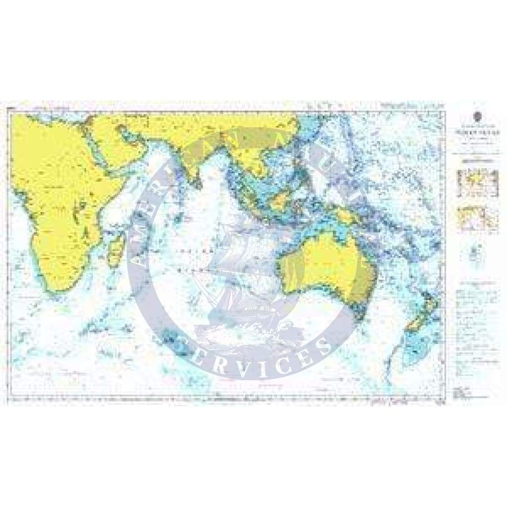
British Admiralty Nautical Chart 4005: A Planning Chart for the Indian Ocean
- Precio
- $47.95
- Tags: Adriatic Sea Aegean Sea Andaman or Burma Sea Arabian Sea Arafura Sea Arctic Ocean Atlantic Ocean Balearic Sea Bali Sea Baltic Sea Banda Sea Barentsz Sea Bass Strait Bay of Bengal Bering Sea Bismarck Sea Black Sea Celebes Sea Ceram Sea Coral Sea East Siberian Sea Eastern China Sea Flores Sea Great Australian Bight Greenland Sea Gulf of Aden Gulf of Aqaba Gulf of Boni Gulf of Bothnia Gulf of Finland Gulf of Guinea Gulf of Oman Gulf of Riga Gulf of Suez Gulf of Thailand Gulf of Tomini Halamahera Sea Indian Ocean Inland Sea Ionian Sea Japan Sea Java Sea Kara Sea Kattegat Laccadive Sea Laptev Sea Ligurian Sea Makassar Strait Malacca Strait Mediterranean Sea - Eastern Basin Mediterranean Sea - Western Basin Molukka Sea Mozambique Channel North Atlantic Ocean North Pacific Ocean North Sea Norwegian Sea Pacific Ocean Persian Gulf Philippine Sea Planning Red Sea Savu Sea Sea of Azov Sea of Marmara Sea of Okhotsk Singapore Strait Skaggerak Solomon Sea South Atlantic Ocean South China Sea South Pacific Ocean Southern Ocean Sulu Sea Tasman Sea Timor Sea Tyrrhenian Sea White Sea World Yellow Sea
Retiro disponible en 3311 S. Andrews Ave.
Normalmente está listo en 24 horas
British Admiralty Nautical Chart 4005: A Planning Chart for the Indian Ocean is a standard nautical chart. This nautical chart complies with Safety of Life at Sea (SOLAS) regulations and is ideal for professional, commercial and recreational use. Charts within the series consist of a range of scales, useful for passage planning, ocean crossings, coastal navigation and entering port. Mariners should always use the largest scale nautical chart appropriate to their needs. In particularly busy seaways such as the English Channel, Gulf of Suez and the Malacca and Singapore Straits, the standard nautical charts are supplemented by mariners' routeing guides which provide advice on route planning in these complex areas. Admiralty nautical charts are corrected to the latest notice to mariners (NTM) by our trained cartographer at the point of sale. It is the mariner's responsibility to maintain and correct the chart onwards to be in compliance with SOLAS regulations and to ensure safe navigation.