

Normalmente está listo en 24 horas
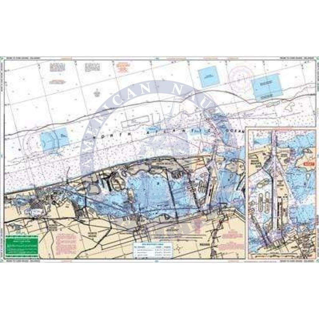
Large print and best detail for the complete Miami Area from North Miami Beach to Key Largo. Very easy to read. Details for both Government Cut and Dinner Key. A total of 14 plotted and indexed GPS Waypoints. This Miami to Card Sound nautical map will become your new first mate. The amount of information in this navigation chart is astounding! We’ve compiled 4 NOAA charts to give you the best detail possible. You will find the complete Miami Area from North Miami Beach to Key Largo. Very easy to read, with larger text for city names. Details are also included for both Government Cut and Dinner Key. There is a total of 14 plotted and indexed GPS Waypoints for key locations in the area. Information from 4 NOAA Charts: #11467, #11466, #11462 & #11451. Nautical chart is 25″ X 38″. WGS84 – World Mercator Datum.

+1 954-522-3321
sales@amnautical.com
American Nautical Services, Inc.
3311 S Andrews Ave, Suite 11
Fort Lauderdale, FL 33316
United States of America
Notify me when available
We will send you a notification as soon as this product is available again.
We don't share your email with anybody