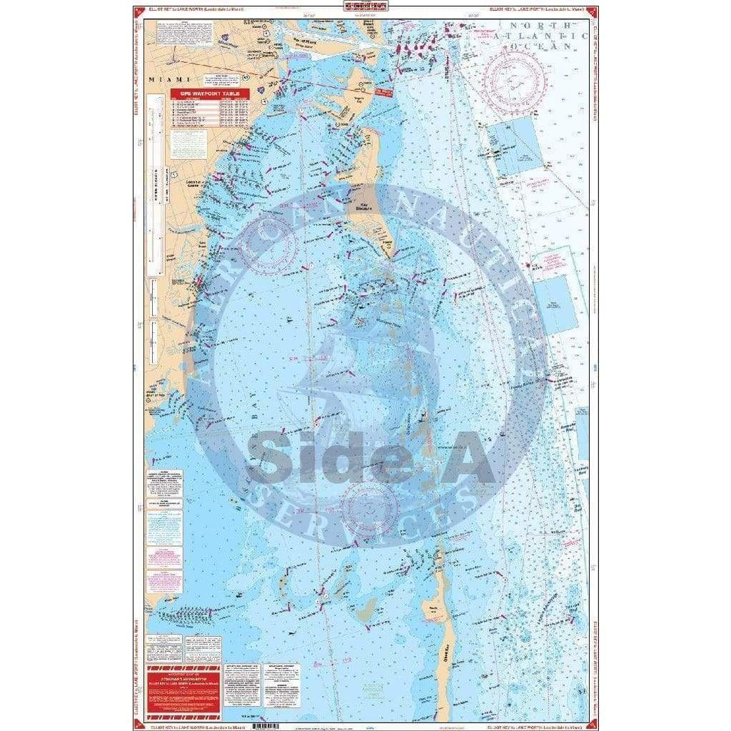
Elliott Key to Lake Worth Navigation Chart 23

Precio de venta
$27.95
Precio habitual
$39.95
SKU WP23
Publisher Waterproof Charts
Retiro disponible en 3311 S. Andrews Ave.

Normalmente está listo en 24 horas

Ver información de la tienda

Complete Intracoastal Waterways coverage and detail from Lake Worth (West Palm Beach) south through Fort Lauderdale and Miami to Black Point in the Biscayne Bay. Details for Fort Lauderdale – Port Everglades area, Bakers Haulover, and Government Cut areas. Plot your next trip like a true sailor with this Elliot Key to Lake Worth navigation map. Included are complete Intracoastal Waterway map coverage and detail from Lake Worth (West Palm Beach) south through Fort Lauderdale and Miami to Black Point in the Biscayne Bay. Details for the Fort Lauderdale and Port Everglades area, Bakers Haulover, and Government Cut areas. You will also feel like a true sailor once you get this nautical map framed and hung on your wall. Information from 2 NOAA Charts: #11465 & #11467. Nautical chart is 25″ X 38″.  WGS84 – World Mercator Datum.

Customer Reviews

Be the first to write a review
0%
(0)
0%
(0)
0%
(0)
0%
(0)
0%
(0)

Customer Reviews

Be the first to write a review
0%
(0)
0%
(0)
0%
(0)
0%
(0)
0%
(0)

You may also like