Normalmente está listo en 24 horas
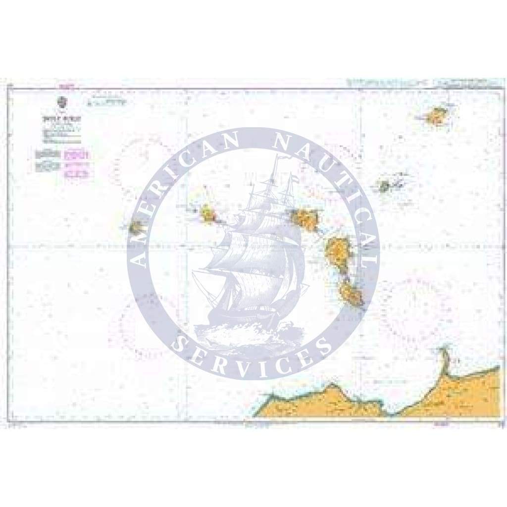
Enhance your maritime navigation with the British Admiralty Nautical Chart 172: Isole Eolie. This meticulously crafted nautical chart from the esteemed British Admiralty serves as an indispensable tool for professional, commercial, and recreational sailors alike. Meet and exceed Safety of Life at Sea (SOLAS) regulations with this comprehensive chart specifically designed for the waters around the Isole Eolie.
Key Features and Benefits:
This chart is part of a series that offers different scales, ensuring that you always have the most appropriate scale for your specific requirements. Whether navigating the intricate waterways of the Isole Eolie or charting courses in bustling seaways like the English Channel or Gulf of Suez, this nautical chart is a reliable companion for mariners. Complement your chart with mariners' routeing guides for additional insights and recommendations on complex routes.
Rest assured that the Admiralty nautical charts are diligently corrected to the latest notice to mariners (NTM) by trained cartographers. However, it is crucial for mariners to take charge of maintaining and updating their charts to adhere to SOLAS regulations and ensure the highest standards of safety during navigation.
Invest in the British Admiralty Nautical Chart 172: Isole Eolie today and unlock a world of precision, reliability, and safety in your maritime journeys.
+1 954-522-3321
sales@amnautical.com
American Nautical Services, Inc.
3311 S Andrews Ave, Suite 11
Fort Lauderdale, FL 33316
United States of America
Notify me when available
We will send you a notification as soon as this product is available again.
We don't share your email with anybody