Normalmente está listo en 24 horas
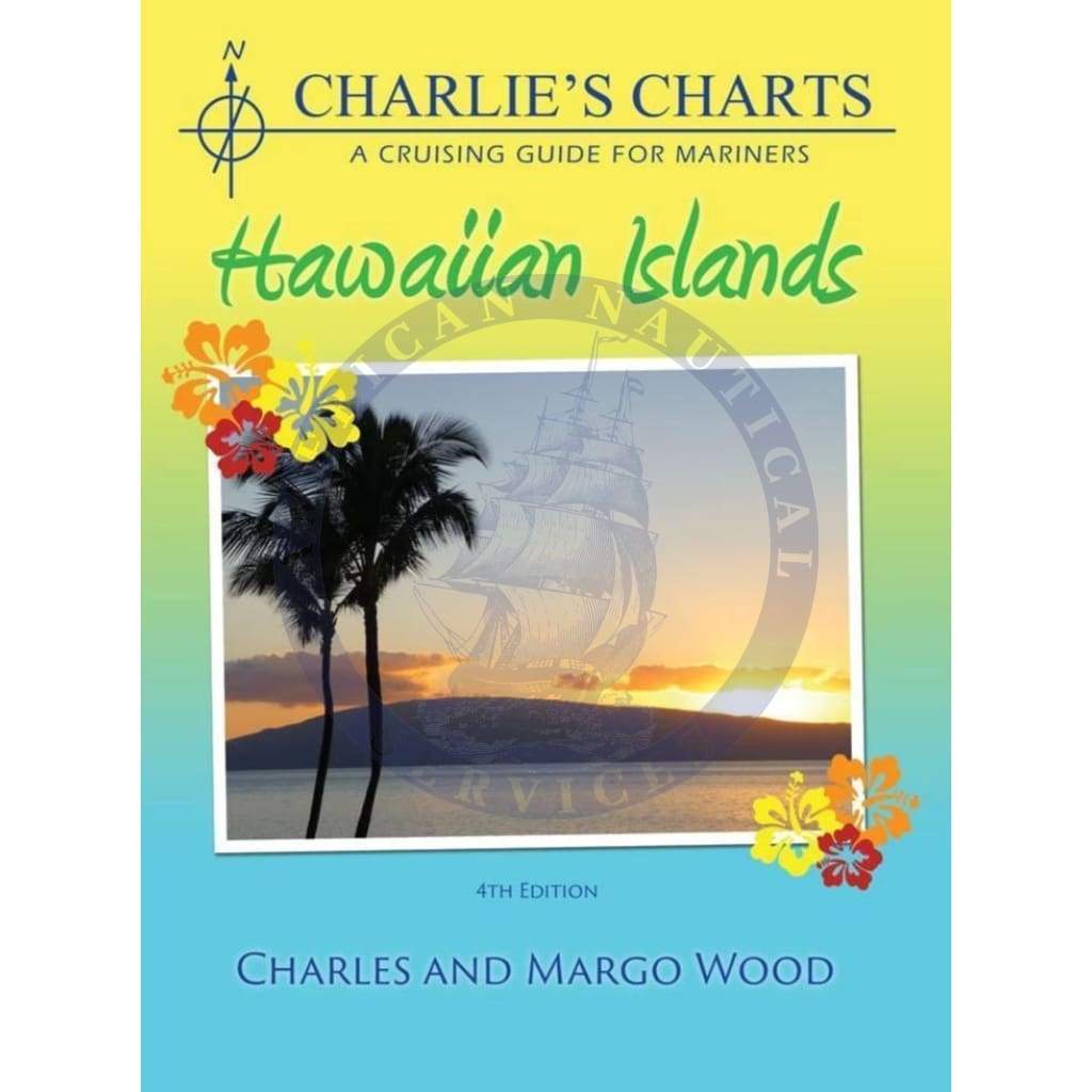
Charlie's Charts - Hawaiian Islands (4th Edition) provides navigational advice and sketch charts covering passages to and from Hawaii and cruising within the Hawaiian archipelago, including the Big Island, Maui, Lanai, Molokai, Oahu, and Kauai.
This guide has a detailed sketch of all anchorages and marina facilities in the Hawaiian Islands. The introduction discusses significant topics such as weather, navigation, provisioning, entry procedures, pets, radio communication and diving. The Appendices include a chart list, weather forecasts a list of Wx and Fax frequencies and a beautifully illustrated marine animal identification guide of turtles, whales and sharks found in coastal waters.
CHARTS & SAILING DIRECTIONS produced by the US Defense Mapping Agency (DMA) are now identified as NIMA (National Imagery and Mapping Agency) publications and should be ordered using the same numbers but with the NIMA prefix.
Author: Charles & Margo Wood
Publisher: Charlie's Charts
Edition Date: 2015
Number of Pages: 82
My first guide to sailing the islands, there are probably others, but I already like it and would consider it a must have in your library for cruising therl.p.e.
+1 954-522-3321
sales@amnautical.com
American Nautical Services, Inc.
3311 S Andrews Ave, Suite 11
Fort Lauderdale, FL 33316
United States of America
Notify me when available
We will send you a notification as soon as this product is available again.
We don't share your email with anybody