Normalmente está listo en 24 horas
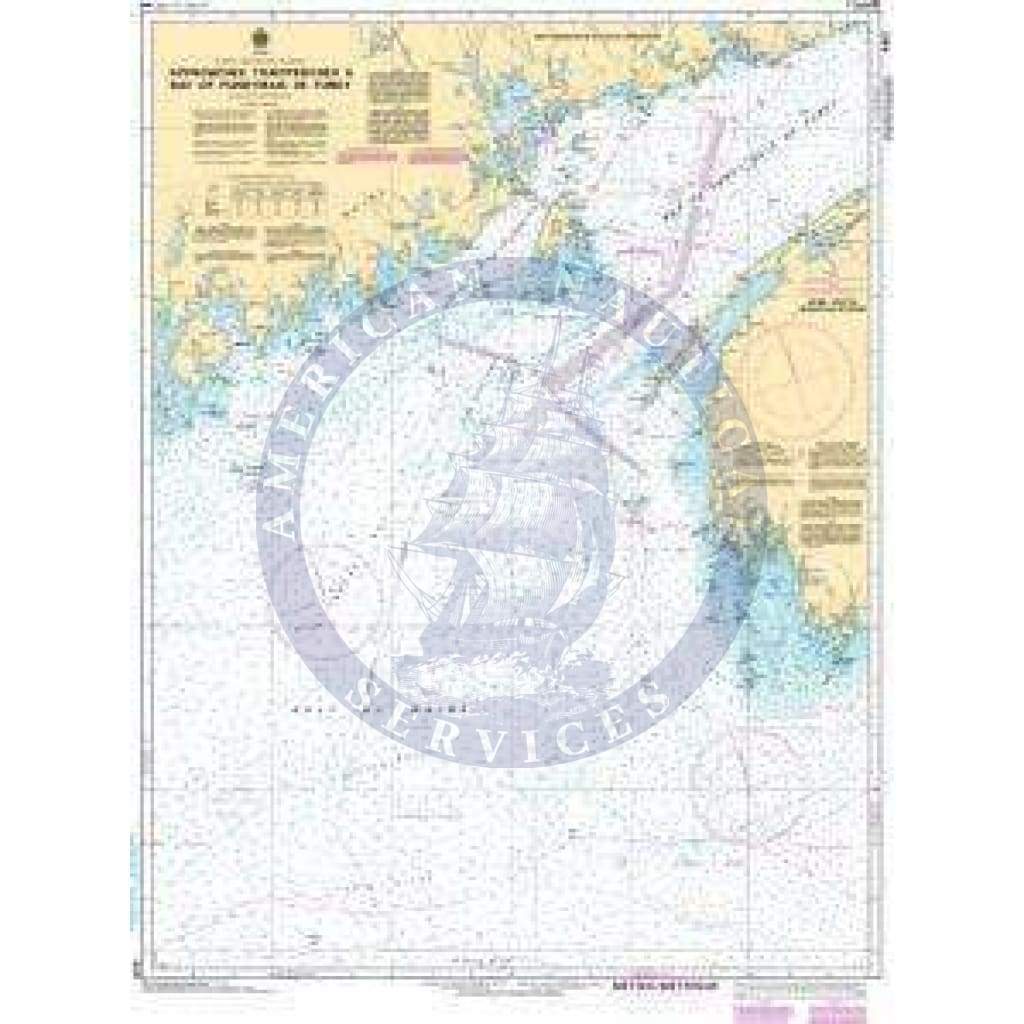
CHS Nautical Chart 4011: Approaches to/Approches à Bay of Fundy/Baie de Fundy
Mariners sailing in Canadian waters are required to carry and use nautical charts issued by or on the authority of CHS, in accordance with the Canada Shipping Act (Charts and Nautical Publications Regulations, 1995) and the Arctic Waters Pollution Prevention Act. Printed "on-demand" with water resistant paper, this chart contains all of the latest notice to mariner (NTM) updates at the time of printing. This chart meets the definition of a nautical chart laid out in SOLAS Chapter V Regulation 2.2 and also meets the carriage requirements defined in SOLAS Chapter V Regulation 19.2.1.4 for ships transiting on international voyages.
Getting official Canadian Hydrographic Service charts is a hassle, but required by law. Unfortunately you can't just download a digital copy for free as in the US. This is a convenient place to order the ones you need. And they got mine to me very quickly!
+1 954-522-3321
sales@amnautical.com
American Nautical Services, Inc.
3311 S Andrews Ave, Suite 11
Fort Lauderdale, FL 33316
United States of America
Notify me when available
We will send you a notification as soon as this product is available again.
We don't share your email with anybody