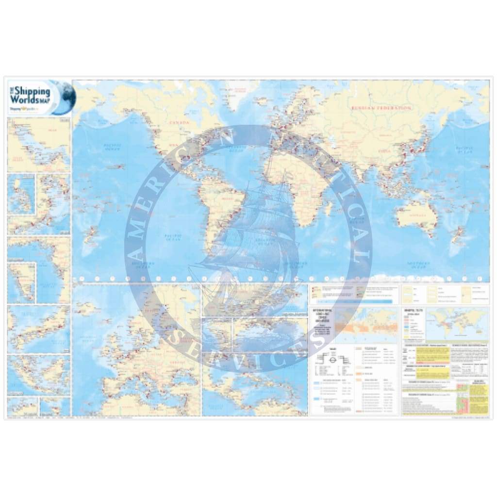
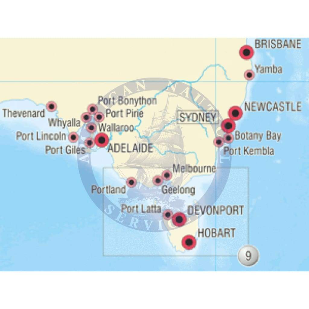
The 8th Edition of The Shipping World's Map is a comprehensive shipping map featuring over 1,500 ports and terminals, of which over 100 port and terminals are new to this edition.
It also details key maritime areas and inset maps feature the very latest amendments to MARPOL 73/78 and International Load Line Zones and Areas.
Featuring port symbols which depict the cargoes handled at that port, together with an indication of their relative size, this useful and attractive world map is ideal for use in the office, in the boardroom or on the bridge.
Key Features
- 1,500 major ports and terminals around the world
- 90 new entries since the last edition
- MARPOL 73/78 with latest amendments
- Load line zones and areas
- Major dry docks
- Time clocks indicating UT (GMT) standard time zones
- Key maritime areas, including Europe and the Mediterranean, NW Australia, Japan, Eastern Asia, the Philippines, Bass Strait, the Gulf, Gulf of Guinea, India, the Caribbean, North Gulf of Mexico, Vancouver/Seattle, the Great Lakes and St Lawrence Seaway
- Your corporate logo can be added to The Shipping World's Map if desired (minimum order requirement applies)
- Larger sizes available upon request (minimum order requirement applies)
Latest map update:
March 2013
As standard:
Size A0 measuring 1189 x 841mm
Laminated


