

TIMEZERO Premium Ocean-O Service
- Precio
- $800
TZ Professional High Resolution Forecasts and a Multi-Layer Oceanographic Display
The addition of Ocean-O into the TZ Professional suite allows commercial and sport fishing trips to plan around real-time changes displayed through high-res oceanographic forecasts.
TIMEZERO, ocean-o workspace, fishing spot with oceanography, oceanograms, premium oceanography service, high-res oceanographic forecasts, oceanographic forecasts, high resolution oceanographic forecasts, high resolution oceanography, multi-layer oceanographic display
The TimeZero Professional software package can now be upgraded with their new Premium Ocean-O service. Offshore or pelagic fishing routes can be mapped, navigated, changed, and recorded through an Ocean-O Workspace to optimize each fishing spot.
Plan Your Fishing Trips and Find the Best Spots With Ocean-O
Effectively fishing in the open sea or ocean takes both angling and maritime experience along with the right equipment. Everything from ocean currents to changes in weather patterns and surface temperature can cause localized ecosystems to shift course, along with the marine life living within. Finding the ideal fishing spot with oceanography is now easier than ever with the Ocean-O service.
The TZ Professional software with Ocean-O is meant to provide users with high resolution oceanographic forecasts that allow for more effective tracking of various species commonly sought out for pelagic fishers. The multi-day forecasts give you the opportunity to plan your trips in advance, with updates being provided in real time to make any changes accordingly.
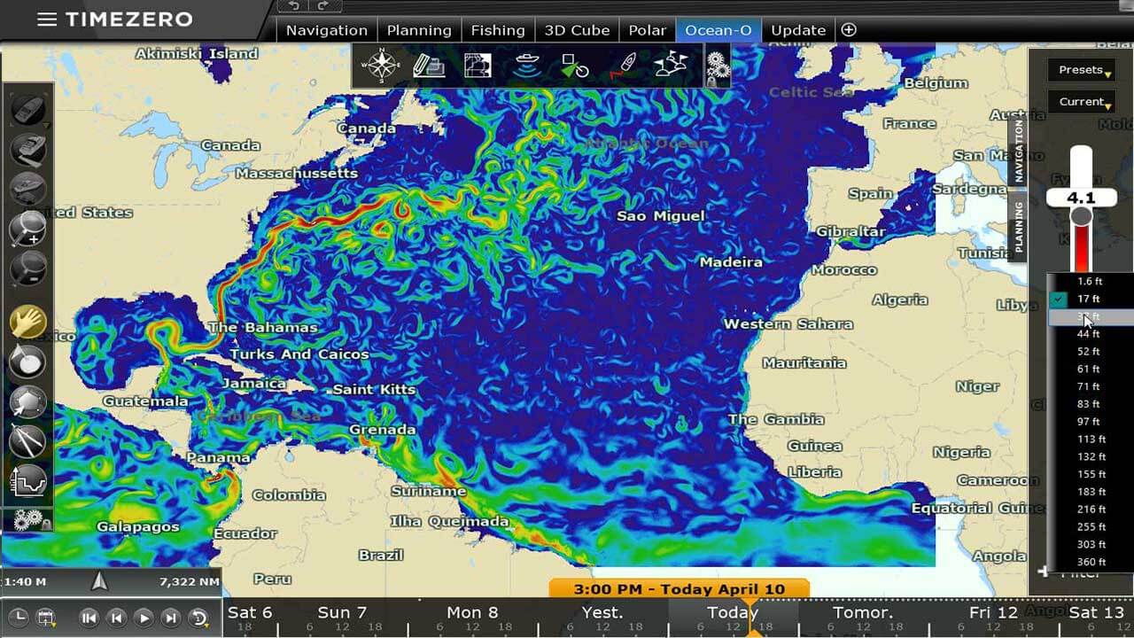
High resolution oceanography makes all of this possible, with Ocean-O workspaces giving you total control over how forecasts are displayed. Display data based on depth, fish species, current movement, or any number of other filters available for these multi-layered datasets. A combination of gray-scale and color layers makes it easy to identify which information is being presented at any given time.
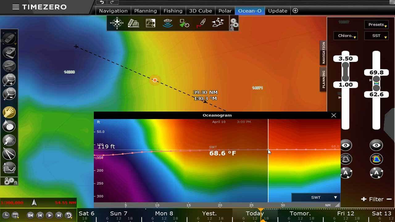
For new TZ Professional users, there are multiple preset data filters to get you started on your journey. Each one can be fully customized to fit your personal or commercial premium oceanography service needs. Found the perfect fishing spot? Simply apply the Auto Filter to have the system search for nearby areas that match the parameters of your current location. You'll even be able to review the state of the water column through the Oceanogram window.
Shifts in climate due to climate change also have to be taken into account when considering where to fish for pelagic species. As different regions see water temperatures increase or decrease, the species inhabiting those waters will also change. The key is finding the divides between colder and warmer waters, also known as frontal zones.
TZ Professional uses data taken from temperature, oxygen, and salinity levels to create in-depth 3D water column displays to further isolate the ideal starting point of your next excursion. You'll quickly be able to identify a species' preferred feeding areas along with the depth they most likely occupy based on the multi-layer data from Ocean-O.
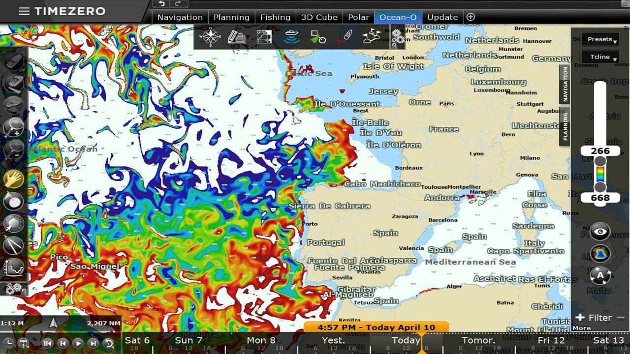
Unique to TZ Professional is the algorithm used to identify and display thermocline locations by coordinate and depth. Thermoclines are key in minimizing lost fish as it acts as a barrier fish are unable to break through. The drastic differences in temperature are what defines a thermocline and having data on its location allows for optimal net placement.
To further preserve your equipment and catches, the TIMEZERO Ocean-O service uses data on nearby currents to advise of shear areas that could damage your submersible equipment. Shear data can be the difference between a bountiful catch and a broken, empty net.


